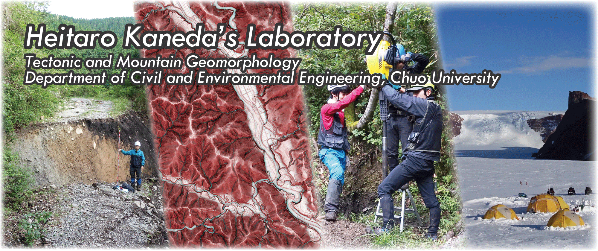
(from left) normal fault scarp associated with the 2016 Kumamoto earthquake / MPI red relief image map (MPI-RRIM)* of the Neo Valley
coring with a portable percussion coring system at ridge-top depression / base camp at Tor, central Dronning Maud Land, east Antarctica
* MPI-RRIM is one type of DEM visualization that is modified from RRIM of Asia Air Survey Co., Ltd.