Roughness Estimation from Point Clouds
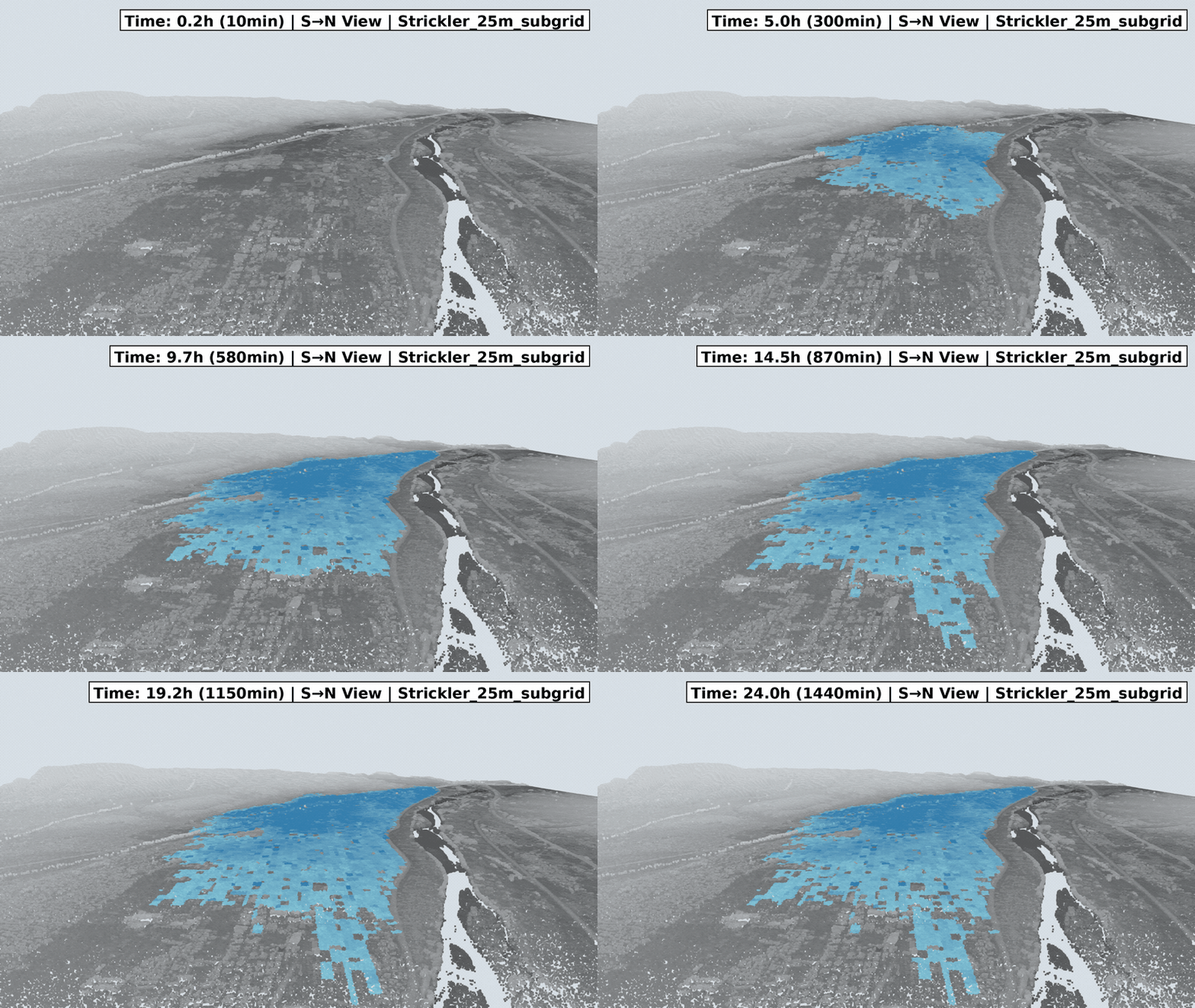
In this research, we develop methods for estimating the roughness coefficient, a key parameter in two-dimensional flood inundation simulation. Conventionally, rough roughness classifications based on land use categories have been used. In recent years, however, LiDAR point clouds captured by drones and other platforms have become widely available, making it possible to capture the terrain undulation information that true roughness coefficients require. We therefore use point cloud data to capture the characteristics of surface relief and estimate roughness coefficients through empirical formulas and deep learning. Targeting the flood damage caused by Typhoon Hagibis in the Chikuma River basin of Nagano Prefecture in October 2019, we aim to improve the accuracy of inundation simulation.